Through image layering and geocalibration, we can see the world in new ways
Recently, geo-imaging technology helped a group of forensic detectives find the lost grave of a missing child in Missouri.
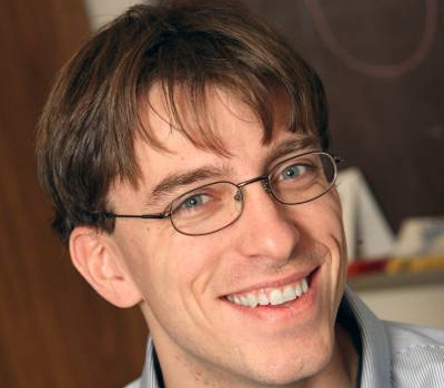
Increasing sophistication of cameras and satellites and advancements in mapping technologies like Google Earth are allowing users to access all parts of the world while sitting in the comfort of their own homes. Despite this, the world is vast and current pictures do not often document what is important to individual people or scientific questions. Dr. Robert Pless, of Washington University of St. Louis, builds web-based or smart-phone based imaging tools that anyone can use to document the story of their world. Dr. Pless then works to merge the unparalleled information in these visual sources to document a larger story of the environment and its change over time.
Dr. Pless' current research can be divided into three categories, each working with images and their relationship with the environment in which they were taken.
- Repeat photography is the layering of one image over an earlier one through time. Dr. Pless and his team have developed and shared the rePhoto App, available for iPhone and Android, so that anyone can capture how a place changes over time. Current projects document urban renewal projects, environmental change, and migration patterns of box turtles.
- Dr. Pless and his colleagues have been collecting images (one photo every half hour) from every publically available webcam, traffic-cam, beach-cam, etc. by finding, calibrating, organizing and re-purposing all outdoor webcams. This database, AMOS (the Archive of Many Outdoor Scenes) has been documenting changes from 27,000 cameras for over 8 years.
- "Geocalibration.org" and "projectlive3d.com" are web-services that allow users to precisely geo-locate imagery by matching features in the images to features on global maps like Google Earth. The service computes and visualizes for the user the location at which the photo was taken.
- This tool was used to find the lost grave of a Jane Doe crime victim, based on a 30-year old photo of the funeral. The Fox News article linked below shares the story of finding this unmarked grave allowing the body to be exhumed for further DNA analysis.
- Weather and environmental monitoring satellites see the whole world, but often have one pixel cover a one mile by one mile square footage region. If a patch of green is covered in grass for part of the year, but by the canopy of deciduous trees during another time, satellites cannot distinguish between the cause of the green. Dr. Pless' research with webcams allows the ground level viewpoints to detect and correct these satellite estimates.
Applied to public health, webcam data shows changes in how people use public space. This provides crucial information for public officials to understand what development projects are most likely to increase physical activity or improve the use of public space.
Bio
In addition to his research and position as a professor, Dr. Pless also holds four department and university positions:
-
Director of Doctoral Program, Computer Science and Engineering
-
Director, Graduate Admissions, Computer Science and Engineering
-
Computer Science Faculty Representative to the Graduate Council
-
Engineering school representative to the Undergraduate Council
Dr. Pless has been invited to speak at a number of prestigious universities, including but not limited to University of Pennsylvania, UC Berkeley, Dartmouth University, Johns Hopkins University, and Carnegie Mellon.
In 2000, Dr. Pless co-founded the Media and Machines Lab with Cindy Grimm and Bill Smart, which works to improve methods to capture, represent, render, and interact with models of natural 3D objects.
Dr. Pless currently boasts his name on two registered patents:
-
US 8,644,587 Method for detecting optical defects in transparencies
-
US 7,899,236 Evaluation of optical distortion in a transparency
In the News
Recording the geography of a three-dimensional landscape using depth maps
Tapping a huge database of ever-updated webcams to keep the virtual world more up-to-date
Fox News article references Abby Stylinaou, a student of Dr. Pless
Publications
Videos
Awards
2009 Faculty of the Year
Voted by School of Engineering Student Body
2006 Emerson Electric Excellence in Teaching Award
Top teaching award at Washington University in St. Louis
National Science Foundation Early Faculty CAREER Award
Presented by the National Science Foundation


